Meeting to authenticate GIS-based maps of District/Tehsil for census operation 2021 held
Assistant Commissioner Revenue, Leh, Shabir Hussain convened a meeting to finalize and authenticate GIS-based Maps of District/ Tehsil for Census operation 2021 on June 7 at DC Conference hall, Leh.
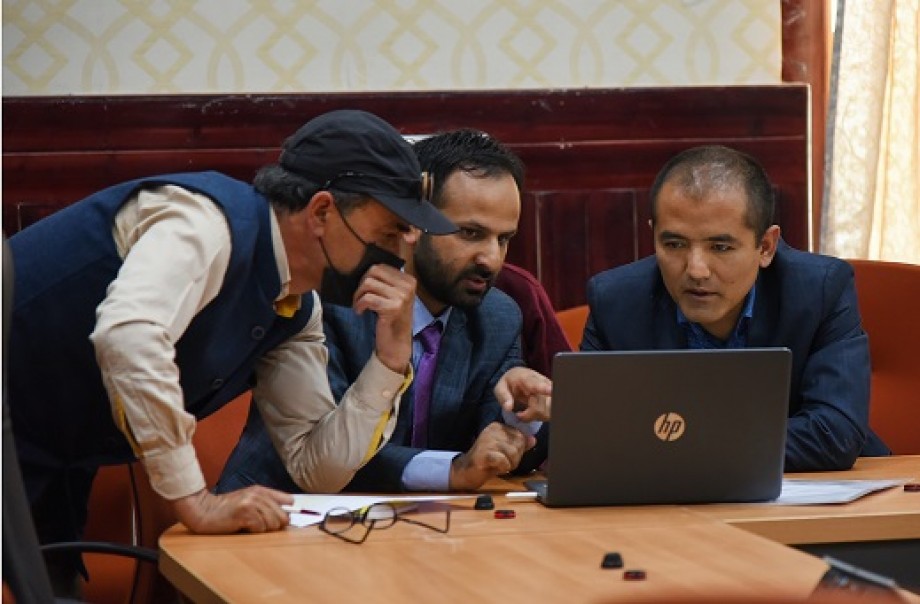
It was informed that the agenda of the meeting was to get the hard copy tehsil maps of District Leh authenticated from the concerned charged officers (Tehsildars) which eventually will be used in the ensuing census 2021.
Dr. Imtiaz Malik, Map Officer, Directorate of Census Operation J&K, UT Ladakh gave a presentation on the Authentication of District/Tehsil maps for the planning of Census 2021. He spoke on the jurisdictional changes in the Leh district which have been given Demo with Map Authentication as an example. This is done to ensure complete geographical coverage without overlapping and omission in each census. Map Division prepares maps of every administrative unit at all levels including District, Sub-district (Tehsil) town, and village.
The maps were checked by the concerned officers and corrections found were updated on the spot by mapping officers from DCO J&K, UT Ladakh.
Sub-Divisional Magistrate Nubra/ Durbuk/ Nyoma/ Kharu/ Khaltse, Tehsildar (Charge Census Officer) Khaltse/Durbuk/Saspol/Leh, and concerned officers attended the meeting.
-
 Reach Ladakh Skara Yokma, Airport Road, Near Councillor Quarter, India.


© 2018 Reachladakh. All rights reserved.
Web designs By : India Internet